Norse and Aztecs · TURNING POINT ·
Stöng longhouse, Þjórsárdalur (c. 1104)
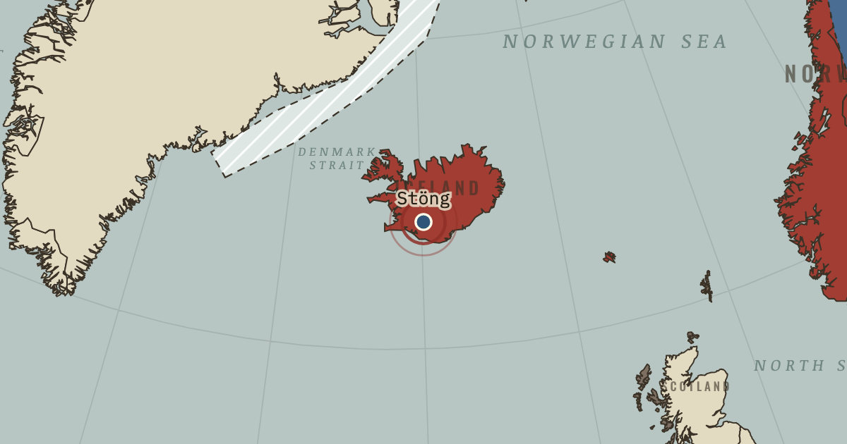
On the Norse and Aztecs map as “Stöng — Þjórsárdalur”
c. 1104 — Ash from Hekla buried farms in the valley of Þjórsárdalur, including Stöng, whose turf longhouse is one of the best known in Iceland. Recent excavations suggest the valley was abandoned gradually into the thirteenth century, as erosion followed the eruption.
- When
- Type
- Turning point
- Chapter
- Settlement of Iceland (chapter 3 of Norse and Aztecs)
- Atlas
- Climate and Innovation: The Norse and the Aztecs, c. 790–1521
Chapter 3 is part of membership. WW2 is free — every chapter. Try chapters 1–2 of any 2 other atlases (3 with a free account). Opening a new atlas uses one of them. Membership opens all 21 — Join.
Free printable Norse and Aztecs study guide, sent by email ↓
In the same chapter
Related
THE FREE PRINTABLE STUDY GUIDE
Join the Dispatch — a short welcome series, then a letter when a new atlas opens — and the printable study guide for Climate and Innovation is yours now, free.
NO TRACKING · YOUR ADDRESS IS USED FOR THE DISPATCH AND NOTHING ELSE · UNSUBSCRIBE ANYTIME