Norse and Aztecs · TURNING POINT ·
Chinampas of Xochimilco (c. 1430)
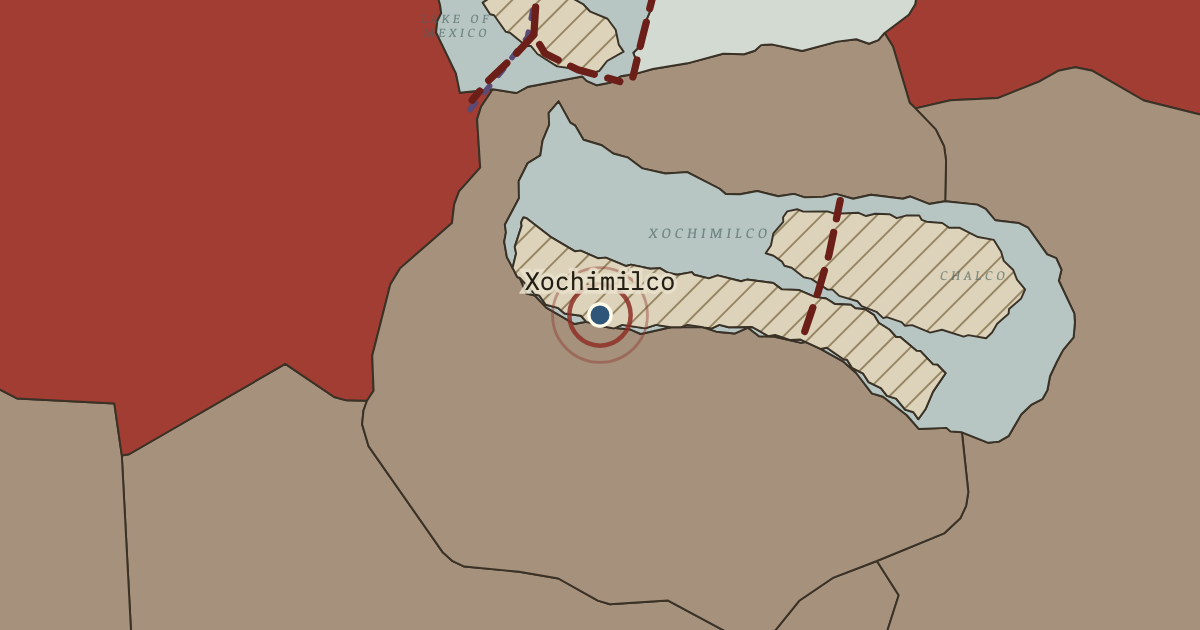
On the Norse and Aztecs map as “Xochimilco — the chinampas”
c. 1430 — Conquered by the Triple Alliance soon after 1428, Xochimilco and the lake towns of the south held the largest chinampa zone in the basin. Raised fields here gave maize yields perhaps three times those of rain-fed land, and some are still farmed today.
- When
- Type
- Turning point
- Chapter
- Aztec chinampas (chapter 9 of Norse and Aztecs)
- Atlas
- Climate and Innovation: The Norse and the Aztecs, c. 790–1521
Chapter 9 is part of membership. WW2 is free — every chapter. Try chapters 1–2 of any 2 other atlases (3 with a free account). Opening a new atlas uses one of them. Membership opens all 21 — Join.
Free printable Norse and Aztecs study guide, sent by email ↓
In the same chapter
Related
THE FREE PRINTABLE STUDY GUIDE
Join the Dispatch — a short welcome series, then a letter when a new atlas opens — and the printable study guide for Climate and Innovation is yours now, free.
NO TRACKING · YOUR ADDRESS IS USED FOR THE DISPATCH AND NOTHING ELSE · UNSUBSCRIBE ANYTIME