The Industrial Revolution, 1750–1914
Industrial Revolution maps by year
24 historical maps of The Industrial Revolution, 1750–1914, one for each turning point: who controlled what, and what changed since the map before.
Explore every date in the interactive atlas →
WW2 is free — every chapter. Try chapters 1–2 of any 2 other atlases (3 with a free account). Opening a new atlas uses one of them. Membership opens all 21 — Join.
Free printable Industrial Revolution study guide, sent by email ↓
The Industrial Revolution in Europe
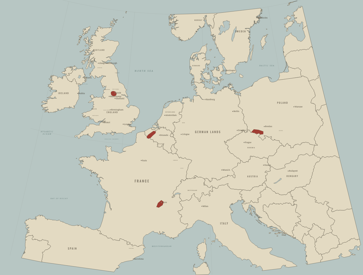
1750
BEFORE THE MACHINES
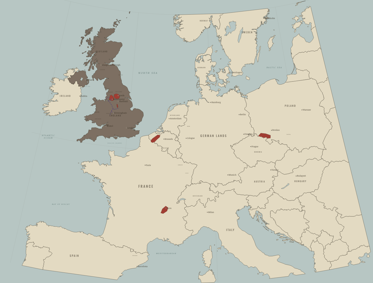
1785
ARKWRIGHT’S MILLS AND THE FIRST CANALS
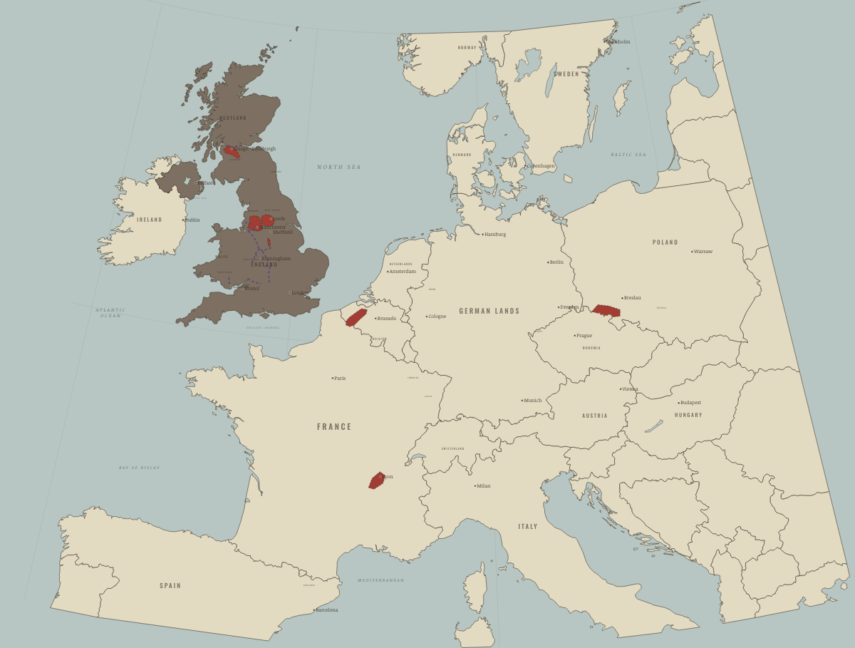
1800
THE COTTON TOWNS
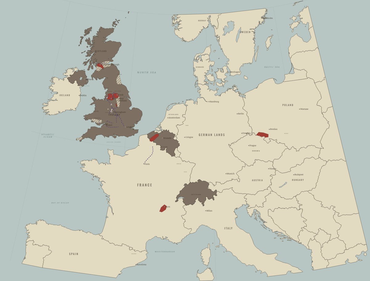
1820
COAL, IRON AND THE CANAL NETWORK
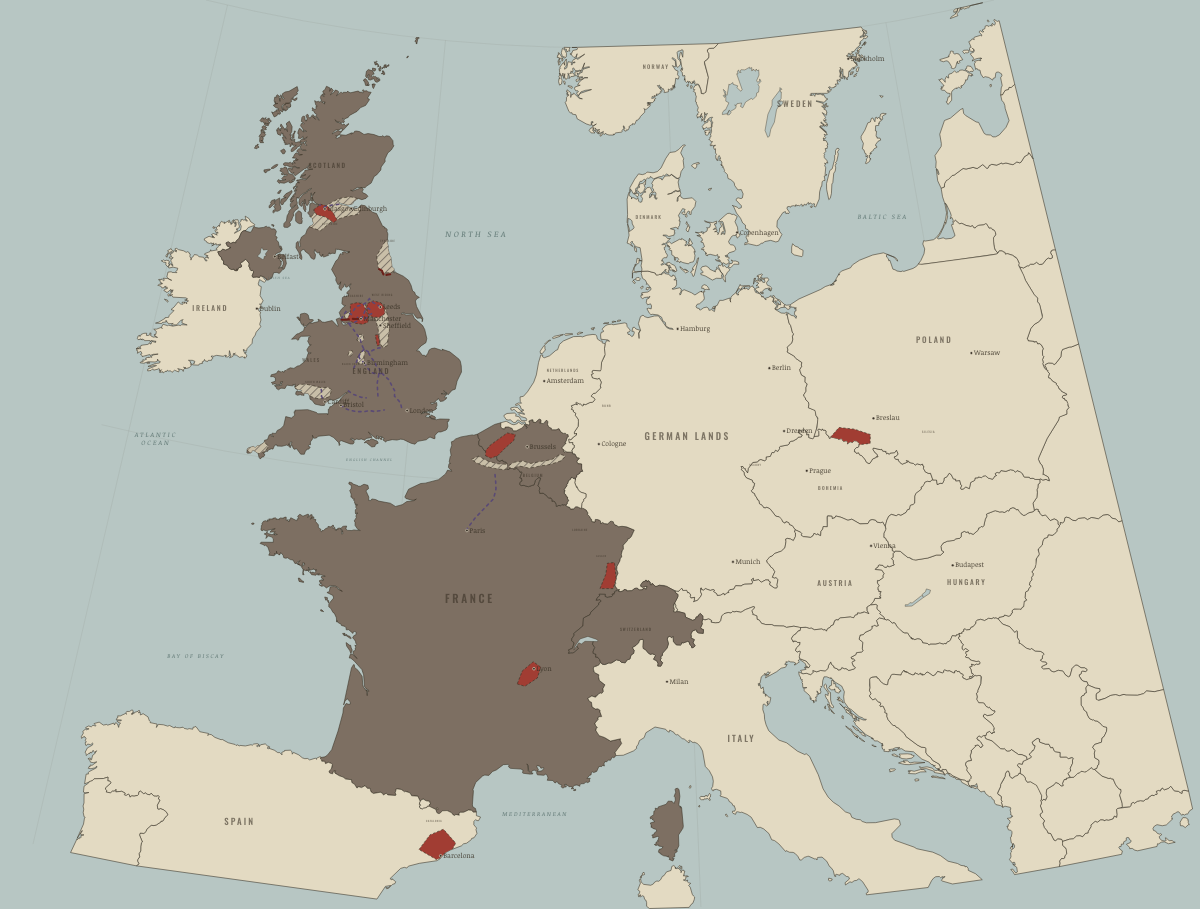
1830
THE LIVERPOOL & MANCHESTER RAILWAY
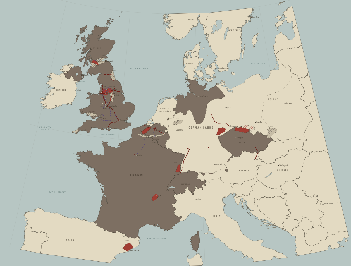
1840
THE FIRST TRUNK LINES; THE ZOLLVEREIN
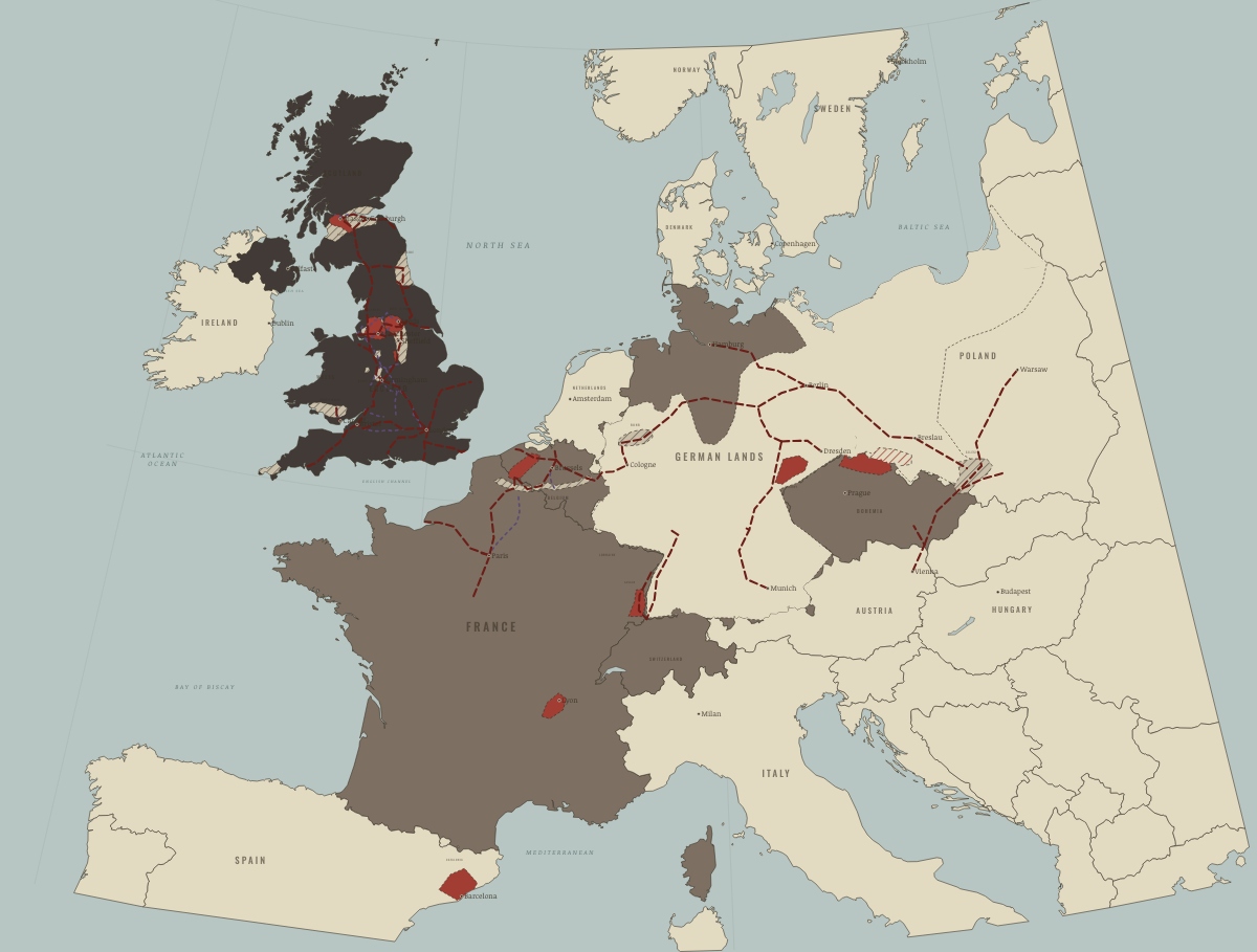
April 1848
THE LAST CHARTIST PETITION
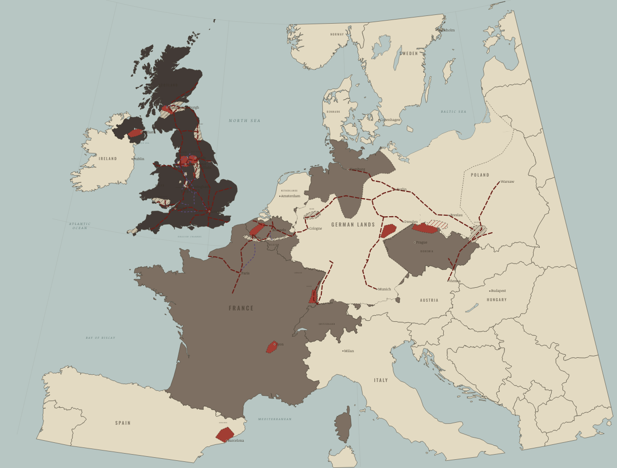
1850
THE FIRST INDUSTRIAL NATION
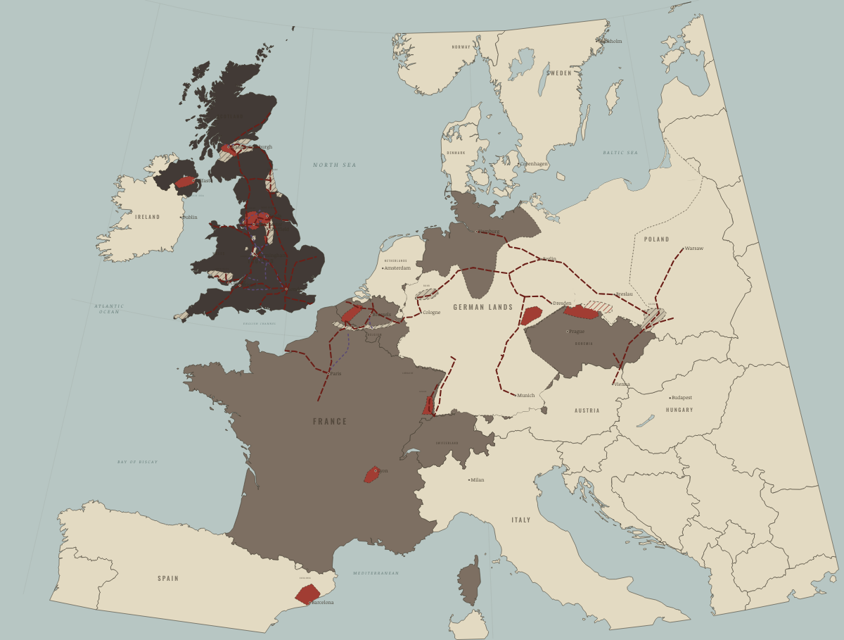
1851
THE CENSUS OF 1851 — AN URBAN NATION
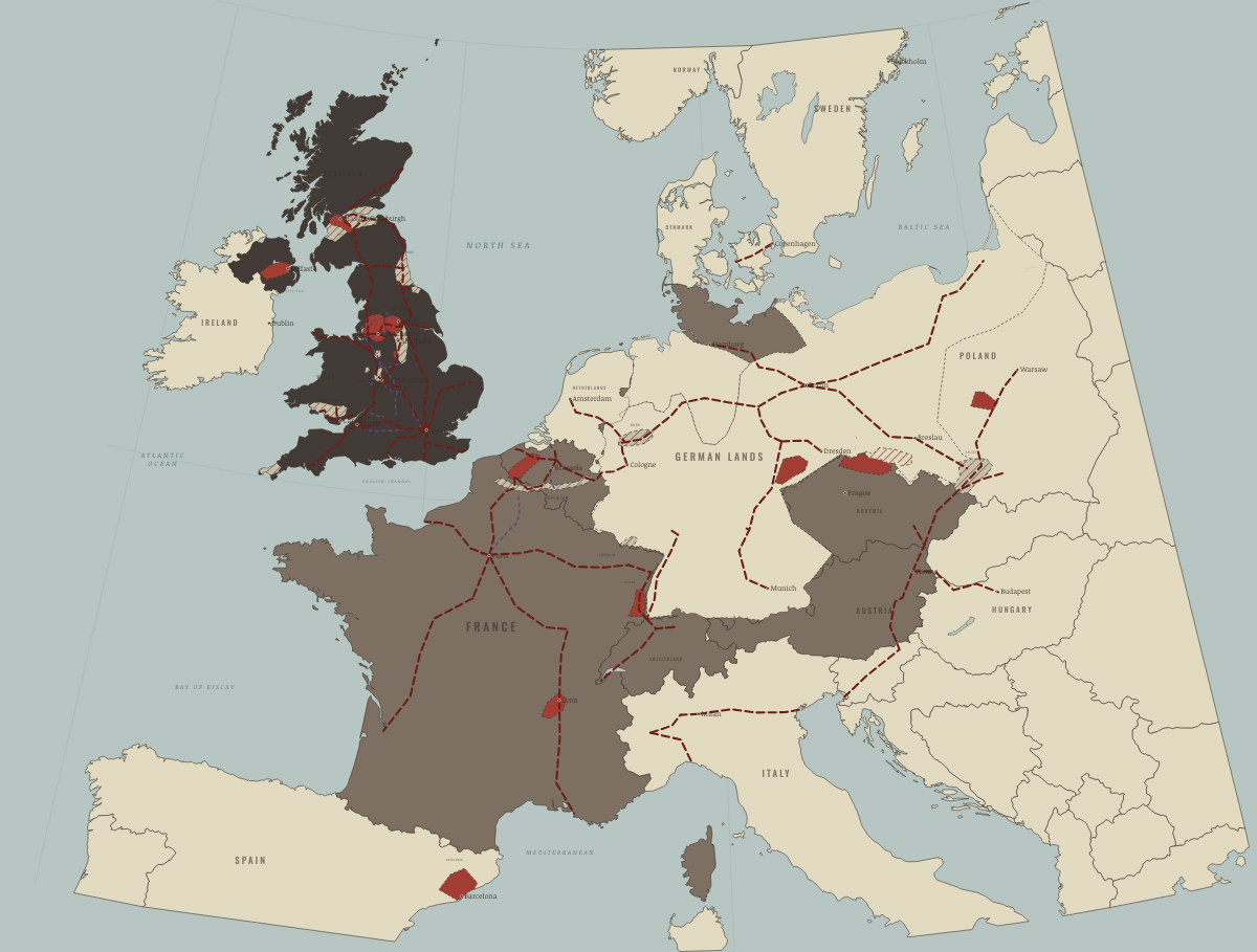
1860
FREE TRADE AND THE CONTINENTAL LINES
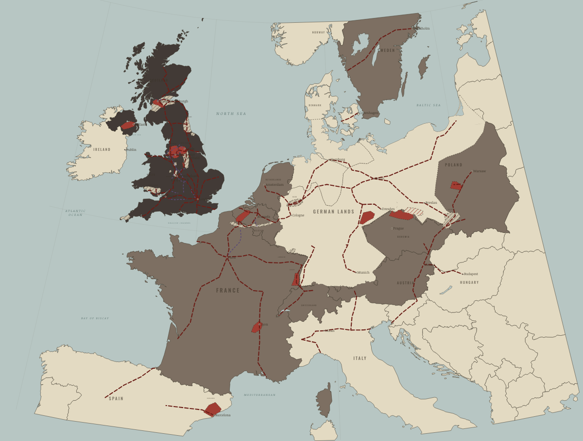
1870
THE CONTINENT FOLLOWS
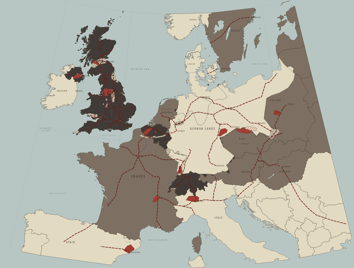
1890
STEEL, CHEMICALS AND ELECTRICITY
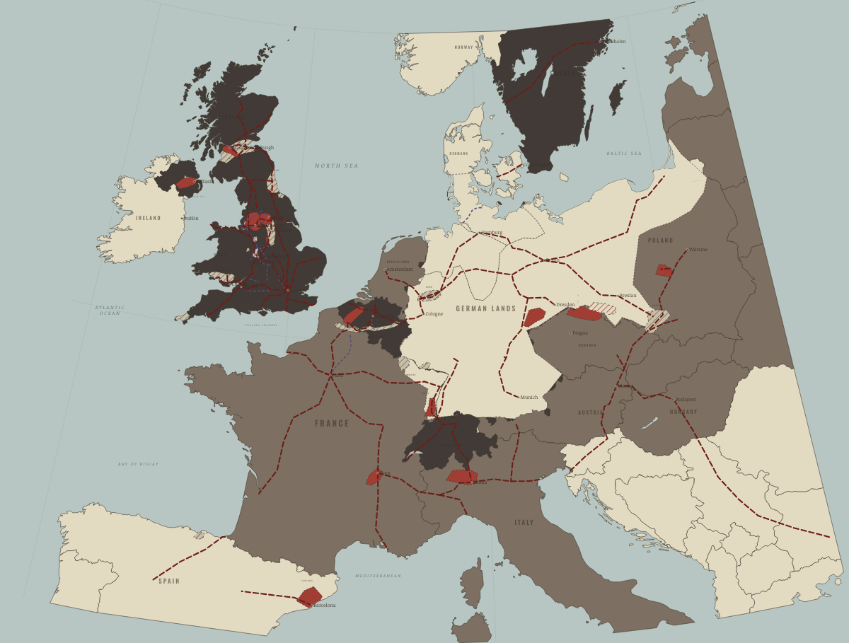
1900
THE NEW INDUSTRIAL POWERS
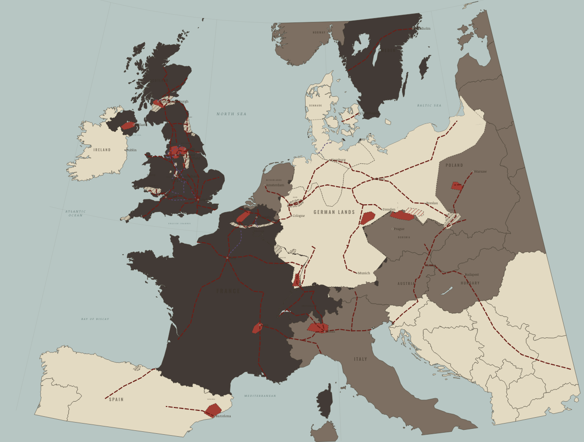
1913
EUROPE ON THE EVE OF WAR
The industrial world
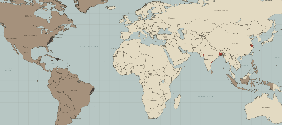
1750
AN ATLANTIC AND ASIAN WORLD
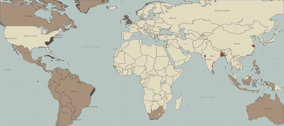
1806
HAITI FREE; THE COTTON GIN’S FIRST HARVESTS
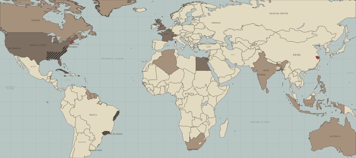
1830
THE COTTON KINGDOM AND AN INDEPENDENT LATIN AMERICA
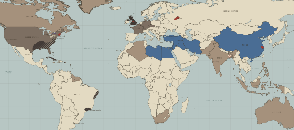
1850
FREE TRADE AND GUNBOATS
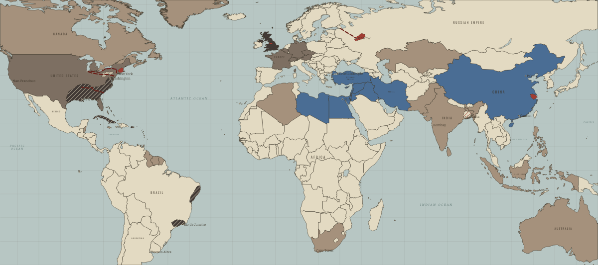
1861
COTTON IS KING — ON THE EVE OF THE COTTON FAMINE
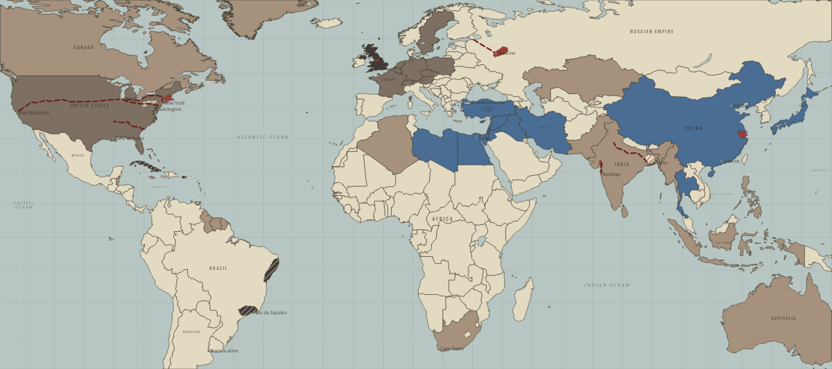
1869
SUEZ AND THE GOLDEN SPIKE
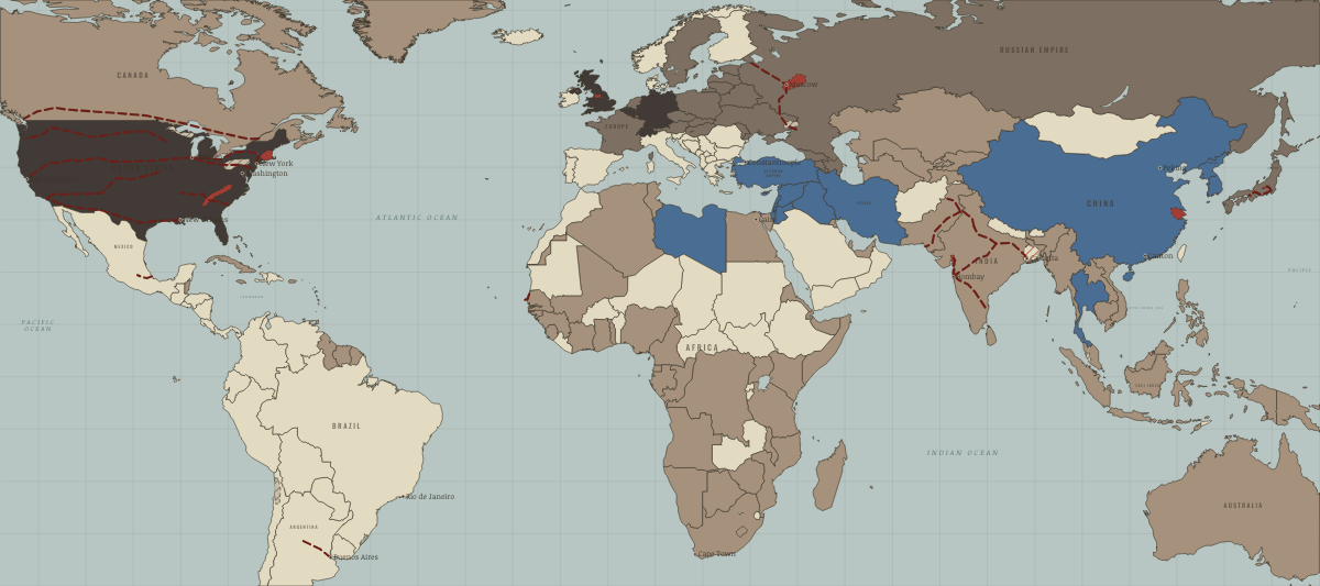
1890
AMERICA OVERTAKES BRITAIN
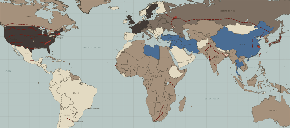
1910
JAPAN’S INDUSTRIAL EMPIRE
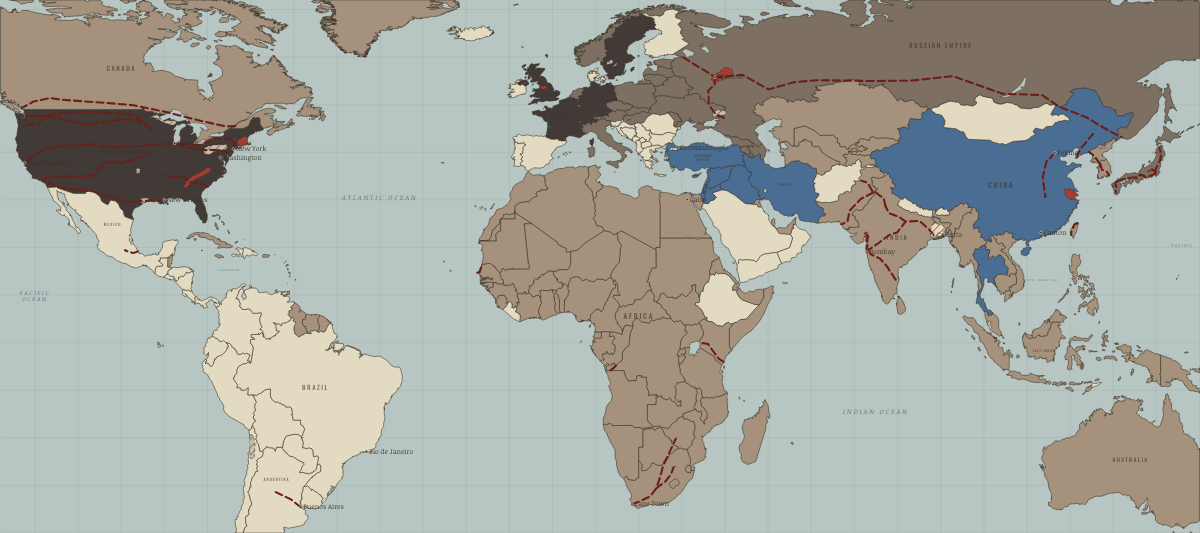
1913
THE FIRST GLOBAL ECONOMY
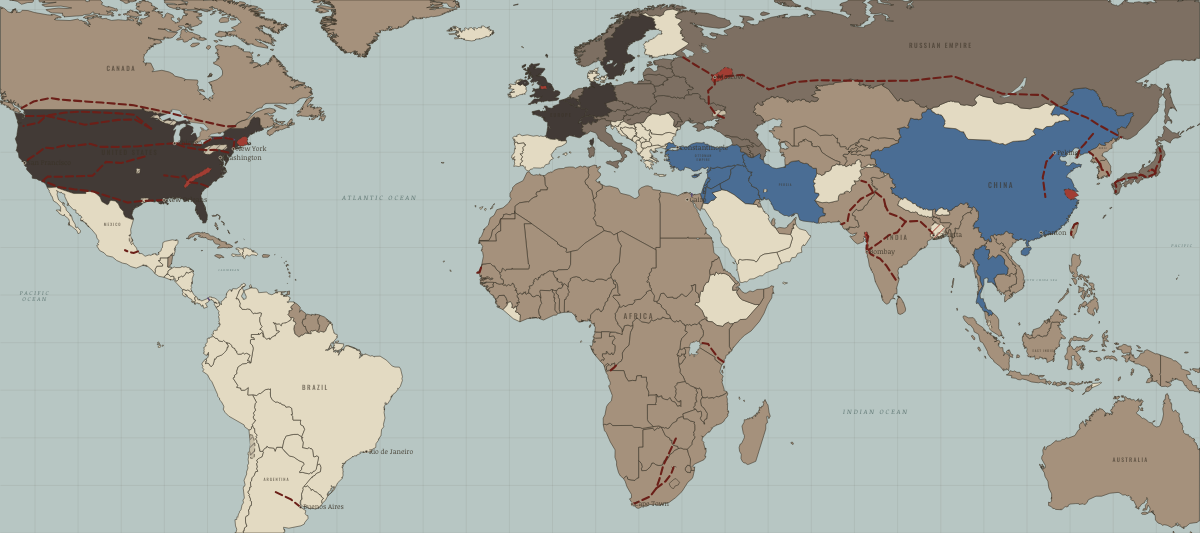
August 1914
THE INDUSTRIAL WORLD GOES TO WAR
Historical maps from every atlas, by year →
THE FREE PRINTABLE STUDY GUIDE
Join the Dispatch — a short welcome series, then a letter when a new atlas opens — and the printable study guide for The Industrial Revolution is yours now, free.
NO TRACKING · YOUR ADDRESS IS USED FOR THE DISPATCH AND NOTHING ELSE · UNSUBSCRIBE ANYTIME