Indian independence · BATTLE SITE ·
Third Anglo-Burmese War (1885–86)
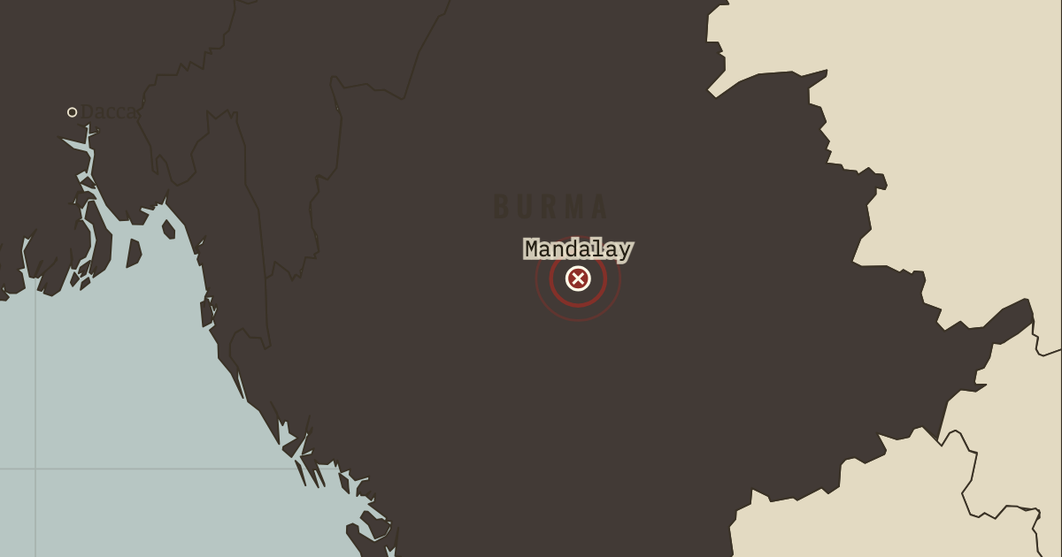
On the Indian independence map as “Mandalay — Upper Burma annexed”
Nov 1885 – 1 Jan 1886 — A river force steamed up the Irrawaddy and took Mandalay within a fortnight; King Thibaw was exiled to Ratnagiri on India’s west coast, and Upper Burma was annexed as a province of British India. Resistance in the countryside lasted for years.
- When
- Type
- Battle site
- Chapter
- British Raj and the early Congress (chapter 2 of Indian independence)
- Atlas
- Indian Independence & Partition, 1857–1964
WW2 is free — every chapter. Try chapters 1–2 of any 2 other atlases (3 with a free account). Opening a new atlas uses one of them. Membership opens all 21 — Join.
Free printable Indian independence study guide, sent by email ↓
In the same chapter
Related
THE FREE PRINTABLE STUDY GUIDE
Join the Dispatch — a short welcome series, then a letter when a new atlas opens — and the printable study guide for Indian Independence & Partition is yours now, free.
NO TRACKING · YOUR ADDRESS IS USED FOR THE DISPATCH AND NOTHING ELSE · UNSUBSCRIBE ANYTIME