Historical map · 2000
Map of the World in 2000
In 2000, the historical border data behind our interactive map draws 188 states, empires and other polities in the world. By the land they held , the largest were the Russian Federation, Canada and the United States of America.
See this map live. The interactive map opens on the World in 2000. Zoom in, move the year slider to watch the borders change, or ask the history guide a question and it draws the answer on the map.
OPEN 2000 ON THE MAP →Ask the history guide about 2000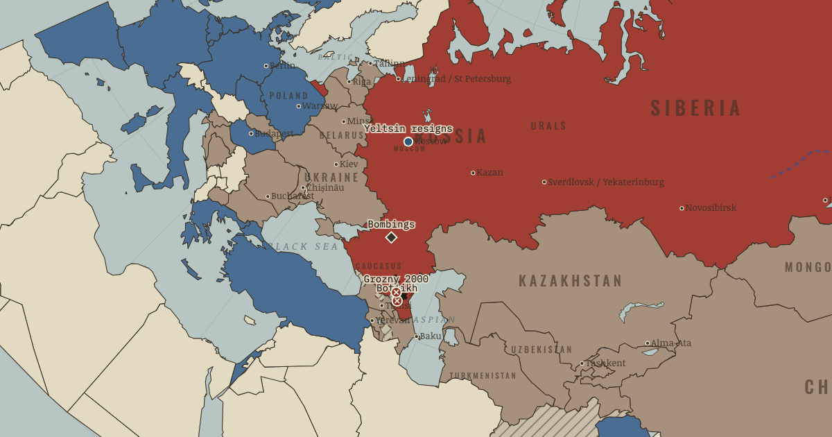
States and empires in the World in 2000
| State | Territory | In the data |
|---|---|---|
| Russian Federation Wikipedia | 33.6 million km² | 1992–2024 |
| Canada Wikipedia | 10.0 million km² | 1932–2024 |
| United States of America Wikipedia | 9.4 million km² | 1776–2024 |
| People's Republic of China Wikipedia | 9.4 million km² | 1950–2024 |
| Federative Republic of Brazil Wikipedia | 8.6 million km² | 1890–2024 |
| Commonwealth of Australia Wikipedia | 7.8 million km² | 1905–2024 |
| Republic of India Wikipedia | 3.2 million km² | 1947–2024 |
| Argentine Republic Wikipedia | 2.8 million km² | 1930–2024 |
| Kazakhstan Wikipedia | 2.6 million km² | 1992–2024 |
| Republic of Sudan Wikipedia | 2.5 million km² | 1956–2024 |
| People's Democratic Republic of Algeria Wikipedia | 2.3 million km² | 1963–2024 |
| Democratic Republic of the Congo Wikipedia | 2.3 million km² | 1960–2024 |
| Denmark Wikipedia | 2.3 million km² | 1333–2024 |
| Republic of Indonesia Wikipedia | 2.0 million km² | 1946–2024 |
| Mexico | 2.0 million km² | 1868–2024 |
| Kingdom of Saudi Arabia Wikipedia | 1.9 million km² | 1936–2024 |
| Islamic Republic of Iran Wikipedia | 1.6 million km² | 1979–2024 |
| Libyan Arab Jamahiriya Wikipedia | 1.6 million km² | 1969–2013 |
| Mongolia Wikipedia | 1.6 million km² | 1992–2024 |
| Republic of Peru Wikipedia | 1.3 million km² | 1822–2024 |
| Republic of Chad Wikipedia | 1.3 million km² | 1961–2024 |
| Republic of Angola Wikipedia | 1.3 million km² | 1976–2024 |
| Republic of Mali | 1.3 million km² | 1961–2024 |
| South Africa Wikipedia | 1.2 million km² | 1932–2024 |
| Republic of the Niger Wikipedia | 1.2 million km² | 1961–2024 |
| Republic of Colombia Wikipedia | 1.2 million km² | 1866–2024 |
| Ethiopia Wikipedia | 1.1 million km² | 1942–2024 |
| Bolivia Wikipedia | 1.1 million km² | 1825–2024 |
| Mauritania Wikipedia | 1.1 million km² | 1961–2024 |
| Arab Republic of Egypt Wikipedia | 1.0 million km² | 1953–2024 |
| Venezuela Wikipedia | 941,000 km² | 1811–2024 |
| Federal Republic of Nigeria Wikipedia | 915,000 km² | 1961–2024 |
| Tanzania Wikipedia | 890,000 km² | 1964–2024 |
| Islamic Republic of Pakistan Wikipedia | 877,000 km² | 1947–2024 |
| Namibia Wikipedia | 834,000 km² | 1990–2024 |
| Republic of Chile Wikipedia | 803,000 km² | 1812–2024 |
| Mozambique Wikipedia | 787,000 km² | 1976–2024 |
| Republic of Turkey Wikipedia | 768,000 km² | 1924–2024 |
| Zambia Wikipedia | 750,000 km² | 1965–2024 |
| French Fifth Republic Wikipedia | 681,000 km² | 1958–2024 |
Also on the map: Union of Myanmar, Somalia, Central African Republic, Madagascar, Ukraine, Republic of Kenya, Republic of Botswana, Islamic Emirate of Afghanistan (Taliban), United Kingdom, Kingdom of Thailand, Kingdom of Spain, Papua New Guinea, Republic of Cameroon, Turkmenistan, Republic of Yemen, Kingdom of Sweden, Iraqi Republic, Kingdom of Norway, Republic of Uzbekistan, Japan, Morocco, Paraguay, Republic of Zimbabwe, Federal Republic of Germany, Malaysia, Republic of the Congo, Republic of the Philippines, Socialist Republic of Vietnam, Republic of Finland, Republic of Côte d'Ivoire, Sultanate of Oman, Republic of Poland, New Zealand, Italian Republic, Burkina Faso, Gabon, Republic of Ecuador, Guinea, Ghana, Romania, Lao People's Democratic Republic, Guyana, Republic of Uganda, Republic of Belarus, Republic of Senegal, Kyrgyzstan, Syria, Kingdom of Cambodia, Oriental Republic of Uruguay, Republic of Tunisia, Nepal, Republic of Suriname, People's Republic of Bangladesh, Republic of Tajikistan, Republic of Nicaragua, State of Eritrea, Democratic People's Republic of Korea, Republic of Cuba, Third Hellenic Republic, Republic of Benin, Honduras, Republic of Iceland, Republic of Bulgaria, Guatemala, Republic of Korea, Republic of Liberia, Portugal, Malawi, Hungary, Federal Republic of Yugoslavia, Hashemite Kingdom of Jordan, Second Republic of Austria, Republic of Panama, Islamic State of Afghanistan (Northern Alliance), Czech Republic, United Arab Emirates, Netherlands, Ireland, Sierra Leone, Sri Lanka, Republic of Azerbaijan, Georgia, Republic of Latvia, Republic of Lithuania, Togo, Republic of Costa Rica, Dominican Republic, Republic of Croatia, Bosnia and Herzegovina, Slovakia, Republic of Estonia, Republic of Armenia, Republic of China, Kingdom of Bhutan, Swiss Confederation, Solomon Islands, Republic of Guinea-Bissau, Lesotho, Haiti, Kingdom of Belgium, Equatorial Guinea, Republic of Moldova, State of Israel, Republic of Albania, Republic of Rwanda, Republic of Macedonia, Republic of Burundi, Belize, Republic of Djibouti, Republic of El Salvador, Republic of Fiji, British Overseas Territories, Republic of Slovenia, Commonwealth of The Bahamas, East Timor (UN administration), Kuwait, Chechnya (Second Chechen War), Swaziland, Vanuatu, Jamaica and others.
"In the data" gives the first and last year the dataset draws the state under this identity; states often existed earlier or later in another form.
What changed since 1990
New on the map: Russian Federation, Kazakhstan, Democratic Republic of the Congo, Mongolia, Ukraine, Islamic Emirate of Afghanistan (Taliban), Turkmenistan, Republic of Uzbekistan, Federal Republic of Germany, Republic of Belarus, Kyrgyzstan, Kingdom of Cambodia, Republic of Tajikistan, State of Eritrea, Republic of Bulgaria, Federal Republic of Yugoslavia, Czech Republic, Republic of Azerbaijan, Georgia, Republic of Latvia, Republic of Croatia, Bosnia and Herzegovina, Slovakia, Republic of Estonia, Republic of Armenia, Republic of Moldova, Republic of Albania, Republic of Macedonia, British Overseas Territories, Republic of Slovenia and others.
Gone from the map: Union of Soviet Socialist Republics, Zaire, Mongolian People's Republic, British Empire, Socialist Federal Republic of Yugoslavia, Federal Republic of Germany, State of Cambodia, Czechoslovakia, German Democratic Republic, People's Republic of Bulgaria, People's Socialist Republic of Albania, West Berlin.
What comes next: 2010
Appear by 2010: Republic of Serbia, Timor-Leste, Montenegro.
Gone by 2010: Islamic Emirate of Afghanistan (Taliban), Federal Republic of Yugoslavia, East Timor (UN administration), Chechnya (Second Chechen War).
Read the history of 2000
Guided atlas chapters set near this date, each with its own map, causes and consequences:
- Two Transitions ComparedRemaking the State · chapter 12 · 2000
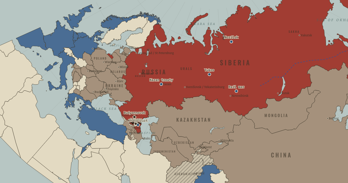 A State at War with ItselfRemaking the State · chapter 11 · 1996
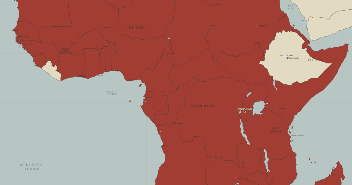 What Independence Achieved, and Could NotThe Decolonization of Africa · chapter 12 · JUL 1994
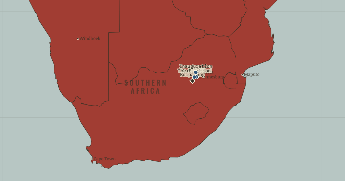 The Four Years That Decided ItThe Decolonization of Africa · chapter 11 · APR 1994
Questions about this map
Which countries were in the World in 2000?
The map data draws 188 states and other polities in the World in 2000. The largest by land were the Russian Federation, Canada, the United States of America, the People's Republic of China and the Federative Republic of Brazil.
What was the largest empire in the world in 2000?
Of the states on this map, the Russian Federation held the most land in total: about 33.6 million km² in the reconstruction used here. Ancient and frontier borders are approximate, so treat areas as estimates.
Can I explore the World in 2000 interactively?
Yes. Open the interactive map at 2000, zoom into any region, move through the years, and ask the history guide questions: it answers in plain words and draws places, armies and borders on the map.
About these borders
The borders come from Cliopatria (v0.2.1, Seshat Global History Databank, CC BY 4.0), the dataset behind our interactive map, with our audited name and border corrections. It records each state's territory year by year from 3400 BC to 2024. Borders before modern surveys are reconstructions: the data draws a state where it held control, and frontier zones, nomadic realms and loose overlordships are approximate. Areas are measured on an equal-area projection. Read how we make our maps.
World in other years
- 3000 BC
- 2000 BC
- 1500 BC
- 1000 BC
- 750 BC
- 500 BC
- 323 BC
- 200 BC
- 100 BC
- AD 1
- 100
- 200
- 300
- 400
- 500
- 600
- 700
- 800
- 900
- 1000
- 1100
- 1200
- 1300
- 1400
- 1444
- 1453
- 1492
- 1500
- 1550
- 1600
- 1648
- 1700
- 1750
- 1776
- 1789
- 1800
- 1815
- 1830
- 1850
- 1871
- 1880
- 1900
- 1910
- 1914
- 1918
- 1920
- 1930
- 1938
- 1939
- 1940
- 1942
- 1945
- 1950
- 1960
- 1970
- 1980
- 1990
- 2000
- 2010
- 2020