Historical map · 1444
Map of Europe in 1444
In 1444, the historical border data behind our interactive map draws 75 states, empires and other polities in Europe. By the land they held inside this region, the largest were the Personal union of Polish-Lithuania Kingdom with Kingdom of Hungary, the Kalmar Union and the Polish-Lithuania Kingdom. The Vassalage of Qara Qoyunlu to Timurid Empire reached well beyond Europe: its whole territory measured about 5.0 million km².
See this map live. The interactive map opens on Europe in 1444. Zoom in, move the year slider to watch the borders change, or ask the history guide a question and it draws the answer on the map.
OPEN 1444 ON THE MAP →Ask the history guide about 1444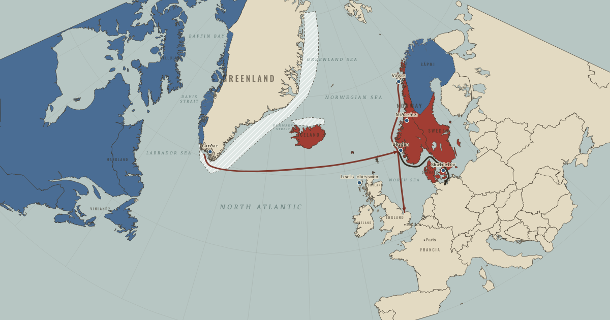
States and empires in Europe in 1444
| State | In this region | In the data |
|---|---|---|
| Personal union of Polish-Lithuania Kingdom with Kingdom of Hungary Wikipedia | 1.4 million km² | 1375–1449 |
| Kalmar Union Wikipedia | 1.3 million km² | 1402–1525 |
| Polish-Lithuania Kingdom Wikipedia | 1.0 million km² | 1395–1571 |
| Vassalage of Kingdom of Bohemia to Holy Roman Empire Wikipedia | 894,000 km² | 1202–1528 |
| Holy Roman Empire Wikipedia | 894,000 km² | 922–1806 |
| Vassalage of Electorate of Brandenburg to Holy Roman Empire Wikipedia | 894,000 km² | 1260–1618 |
| Allegiance of Swiss Confederation to Holy Roman Empire Wikipedia | 894,000 km² | 1294–2024 |
| Golden Horde Wikipedia | 752,000 km² | 1294–1695 |
| Grand Duchy of Lithuania Wikipedia | 744,000 km² | 1220–1449 |
| Novgorod Republic Wikipedia | 612,000 km² | 1056–1481 |
| Ottoman Empire Wikipedia | 562,000 km² | 1305–1923 |
| Kingdom of France Wikipedia | 485,000 km² | 990–1848 |
| Crown of Castile Wikipedia | 356,000 km² | 1236–1515 |
| Kingdom of Hungary Wikipedia | 338,000 km² | 1000–1546 |
| Kingdom of Poland Wikipedia | 284,000 km² | 962–1449 |
| Grand Principality of Moscow Wikipedia | 260,000 km² | 1294–1546 |
| Vassalage of Qara Qoyunlu to Timurid Empire Wikipedia | 228,000 km² | 1375–1467 |
| Kingdom of England Wikipedia | 208,000 km² | 936–1708 |
| Crown of Aragon Wikipedia | 185,000 km² | 1169–1515 |
| Hafsid Dynasty Wikipedia | 171,000 km² | 1236–1571 |
| Mamluk Sultanate Wikipedia | 160,000 km² | 1241–1518 |
| Aq Qoyunlu Wikipedia | 146,000 km² | 1407–1511 |
| Zayyanid dynasty Wikipedia | 126,000 km² | 1236–1555 |
| Marinid Sultanate Wikipedia | 125,000 km² | 1250–1467 |
| Livonian Conference Wikipedia | 116,000 km² | 1422–1563 |
| House of Habsburg Wikipedia | 101,000 km² | 1260–1515 |
| Kingdom of Georgia Wikipedia | 101,000 km² | 1010–1802 |
| Beylik of Karaman Wikipedia | 100,000 km² | 1305–1467 |
| Principality of Moldavia Wikipedia | 98,000 km² | 1363–1858 |
| Kingdom of Portugal Wikipedia | 92,000 km² | 1147–1911 |
| Kingdom of Scotland Wikipedia | 86,000 km² | 1294–1608 |
| Duchy of Burgundy Wikipedia | 75,000 km² | 1003–1481 |
| Principality of Wallachia Wikipedia | 74,000 km² | 1314–1858 |
| Serbian Empire Wikipedia | 73,000 km² | 1352–1458 |
| Kingdom of Naples Wikipedia | 69,000 km² | 1285–1501 |
| Teutonic Order Wikipedia | 69,000 km² | 1236–1525 |
| House of Valois-Anjou Wikipedia | 63,000 km² | 1363–1486 |
| Kingdom of Bosnia Wikipedia | 49,000 km² | 1385–1481 |
| Beylik of Isfendiyar Wikipedia | 49,000 km² | 1305–1462 |
| Duchy of Bavaria Wikipedia | 48,000 km² | 1260–1805 |
Also on the map: Republic of Venice, Papal States, Principality of Vladimir-Suzdal, Duchy of Brittany, County of Savoy, House of Ascania, House of Bourbon, Beylik of Dulkadir, Duchy of Milan, Emirate of Granada, Empire of Trebizond, Ramadanid Emirate, Byzantine Empire, Pskov Republic, Blue Horde, County of Périgord, Electorate of Trier, Republic of Genoa, Republic of Florence, County of Armagnac, Despotate of Epirus, County of Nevers, Kingdom of Cyprus, County of Foix, Duchy of Luxembourg, County of Touraine, Tver, Earldom of Desmond, County of Béarn, Comtat Venaissin, Patriarchate of Aquileia, Republic of Ragusa, County of Auvergne, Principality of Theodoro, County of Urgell.
"In the data" gives the first and last year the dataset draws the state under this identity; states often existed earlier or later in another form.
What changed since 1400
New on the map: Personal union of Polish-Lithuania Kingdom with Kingdom of Hungary, Kalmar Union, Aq Qoyunlu, Livonian Conference, Duchy of Milan, County of Nevers, Duchy of Luxembourg.
Gone from the map: Personal union of Kingdom of Denmark with Old Kingdom of Norway, Kingdom of Sweden, Germiyanids, Jalayirid Sultanate, Timurid Empire, Kingdom of Denmark, Principality of Smolensk, Beylik of Teke, Serbian Despots, Giudicato of Arborea, Margraviate of Moravia, Despotate of Vidin, Beylik of Saruhan, Principality of Achaea, Albanian Principalities, Duchy of Brabant, Despotate of Arta, House of Luxembourg, Kingdom of Navarre, Duchy of Aquitaine, Beylik of Aydin, Principality of Valona and Kanina, Beylik of Menteshe, Electorate of Saxony, County of Blôis, Republic of Pisa, House of Tocco, Isle of Man.
What comes next: 1453
Appear by 1453: House of Oldenburg, Crimean Khanate, Qasim Khanate, Ryazan, County of Maine, Duchy of Lorraine, Duchy of Saint Sava, Duchy of Styria.
Gone by 1453: Personal union of Polish-Lithuania Kingdom with Kingdom of Hungary, Vassalage of Kingdom of Bohemia to Holy Roman Empire, Grand Duchy of Lithuania, Kingdom of Hungary, Kingdom of Poland, Kingdom of Naples, Blue Horde, Duchy of Luxembourg, County of Béarn, Patriarchate of Aquileia.
Read the history of 1444
Guided atlas chapters set near this date, each with its own map, causes and consequences:
- What the Norse LeftClimate and Innovation · chapter 6 · 1450
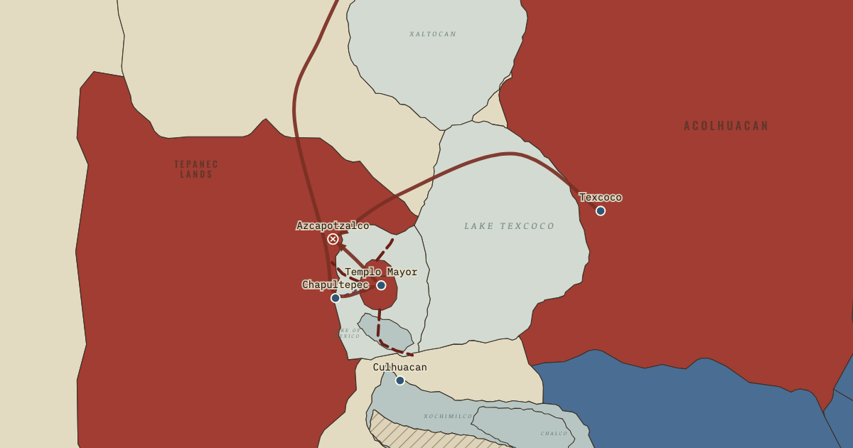 An Empire Built on a LakeClimate and Innovation · chapter 7 · 1428
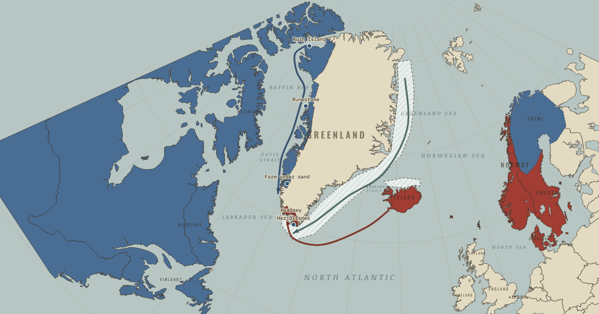 Living with the ColdClimate and Innovation · chapter 5 · 1408
Questions about this map
Which countries were in Europe in 1444?
The map data draws 75 states and other polities in Europe in 1444. The largest by land were the Personal union of Polish-Lithuania Kingdom with Kingdom of Hungary, the Kalmar Union, the Polish-Lithuania Kingdom, the Vassalage of Kingdom of Bohemia to Holy Roman Empire and the Holy Roman Empire.
What was the largest empire in Europe in 1444?
Of the states on this map, the Vassalage of Qara Qoyunlu to Timurid Empire held the most land in total: about 5.0 million km² in the reconstruction used here. Ancient and frontier borders are approximate, so treat areas as estimates.
Can I explore Europe in 1444 interactively?
Yes. Open the interactive map at 1444, zoom into any region, move through the years, and ask the history guide questions: it answers in plain words and draws places, armies and borders on the map.
About these borders
The borders come from Cliopatria (v0.2.1, Seshat Global History Databank, CC BY 4.0), the dataset behind our interactive map, with our audited name and border corrections. It records each state's territory year by year from 3400 BC to 2024. Borders before modern surveys are reconstructions: the data draws a state where it held control, and frontier zones, nomadic realms and loose overlordships are approximate. Areas are measured on an equal-area projection. Read how we make our maps.
Europe in other years
- 1500 BC
- 1000 BC
- 750 BC
- 500 BC
- 323 BC
- 200 BC
- 100 BC
- AD 1
- 100
- 200
- 300
- 400
- 500
- 600
- 700
- 800
- 900
- 1000
- 1100
- 1200
- 1300
- 1400
- 1444
- 1453
- 1492
- 1500
- 1550
- 1600
- 1648
- 1700
- 1750
- 1776
- 1789
- 1800
- 1815
- 1830
- 1850
- 1871
- 1880
- 1900
- 1910
- 1914
- 1918
- 1920
- 1930
- 1938
- 1939
- 1940
- 1942
- 1945
- 1950
- 1960
- 1970
- 1980
- 1990
- 2000
- 2010
- 2020